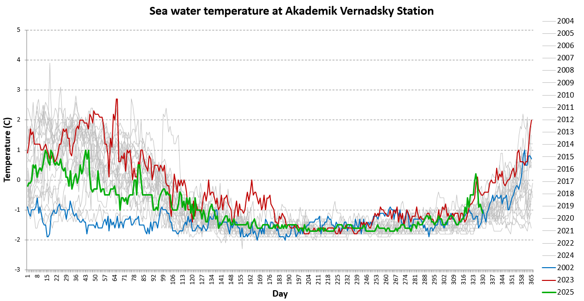
Features of weather and atmospheric circulation
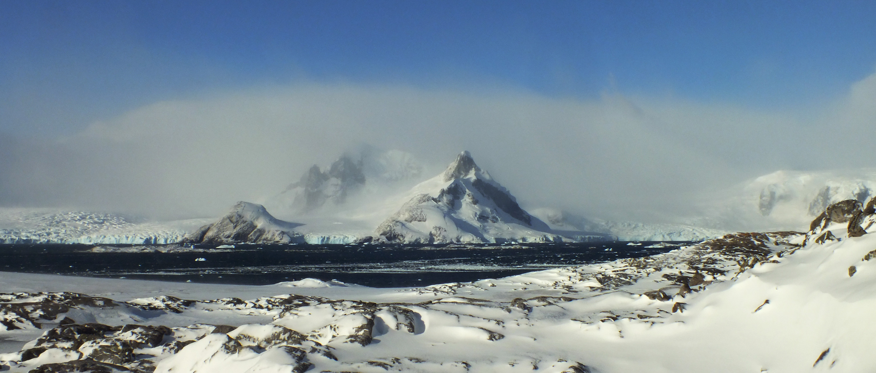
In the area of the Antarctic Peninsula, cyclonic weather prevails. Atmospheric vortex systems develop over the Pacific Ocean and the Bellingshausen Sea and, moving eastward encounter the ridge of the peninsula. Such processes cause frequent precipitation and strong winds around the station. Thus, during transitional seasons, winds over 30-35 m / s are observed. According to statistics, about three hundred (!) days per year the snow falls, and only 25-30 (!) days the sky is almost cloudless. Sharp deterioration of the weather and snowstorms are observed during the passage of the atmospheric fronts of cyclones, however, often it is difficult to predict manifestations of non-frontal short-term snowfalls and blizzards. Therefore, during the winter period, an average of 1 to 2 meters of snow accumulates, gradually melting during the summer.
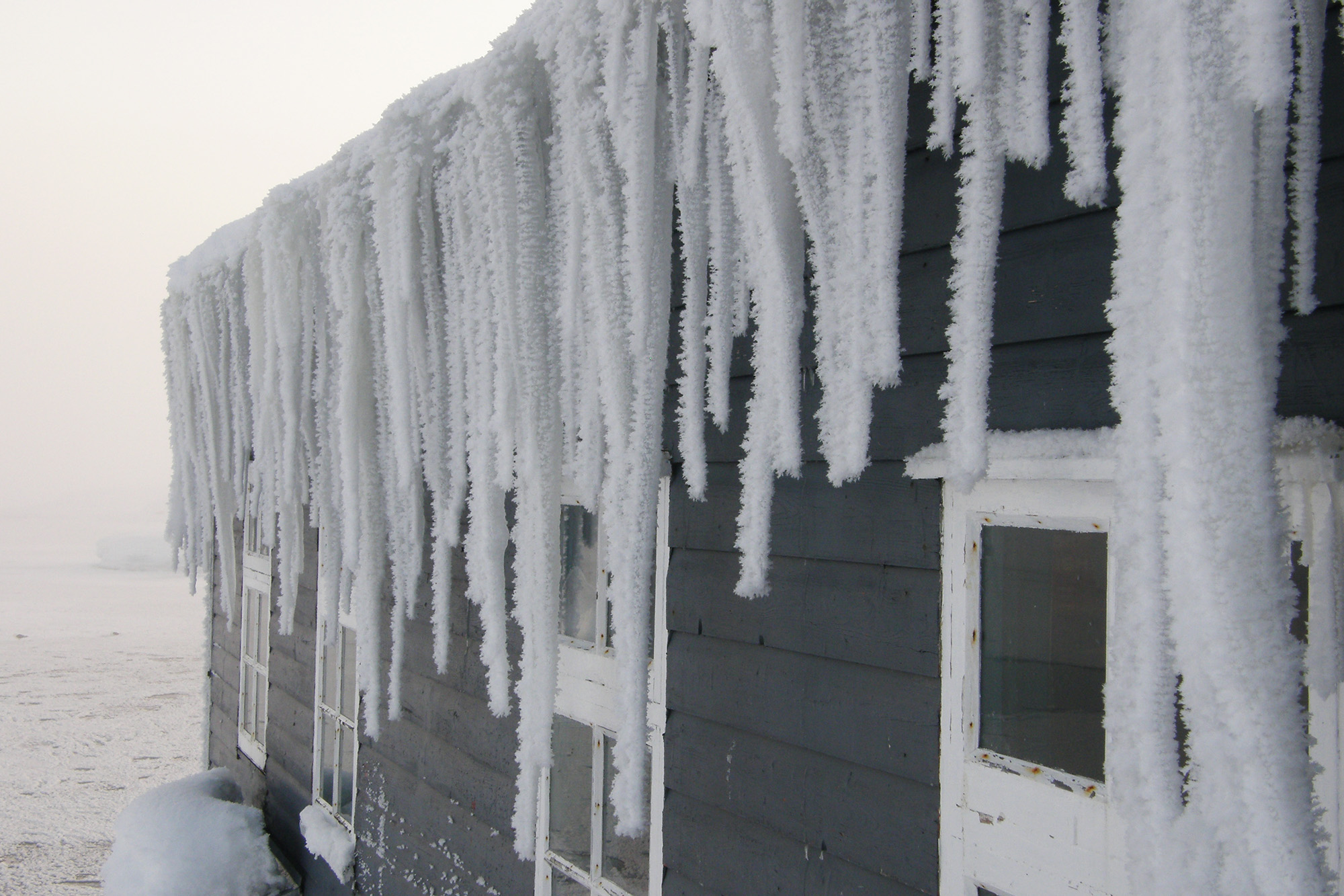
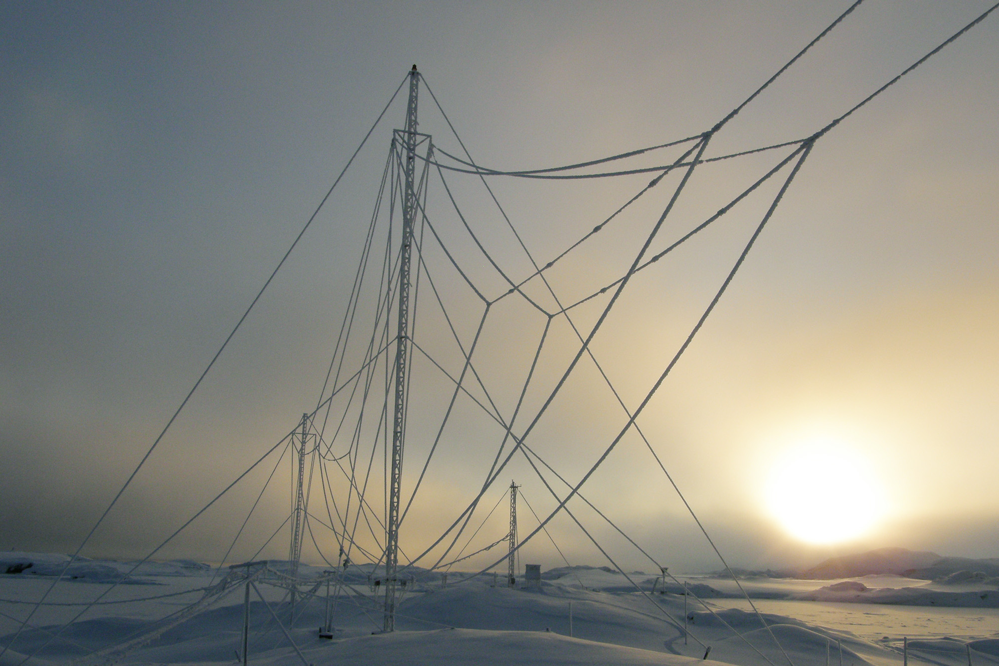
The anticyclone type of weather occurs less frequently and is associated with the influence of high-pressure ridges that spread from the continent or from the north. In this case, the southern wind from the continental Antarctica brings cooled air masses and for a considerable time a calm frosty weather is established, sometimes with fogs and hoarfrost. In summer, as a result of a long polar day and open water, cold air quickly warms up, and there are almost no temperature drops. Direct sunlight, supplemented by scattered light from snow and clouds, compensates for the lack of heat in the air, thereby creating absolutely comfortable conditions for staying outdoors.
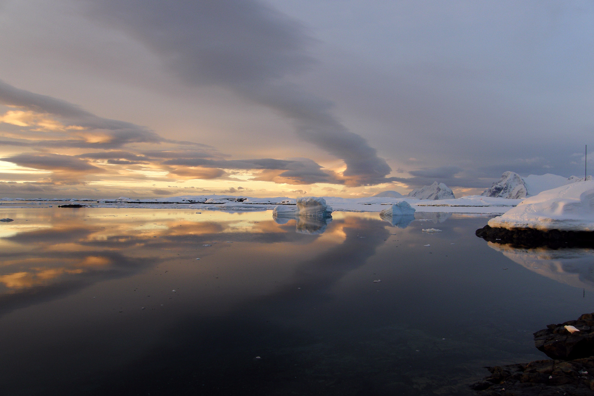
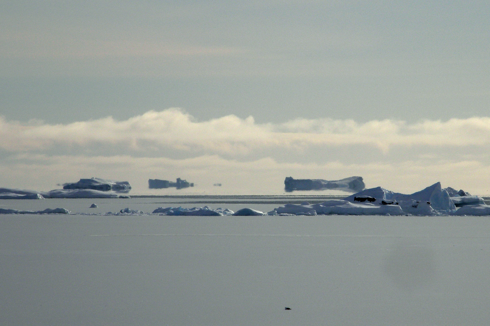
Occasionally, cold air intrusions into the unfrozen water area occur, and mirages in the form of “flying icebergs” on the horizon become commonplace.
Weather information at the station is regularly transmitted to meteorologists to global databases, where it is used to calculate operational weather forecasts.